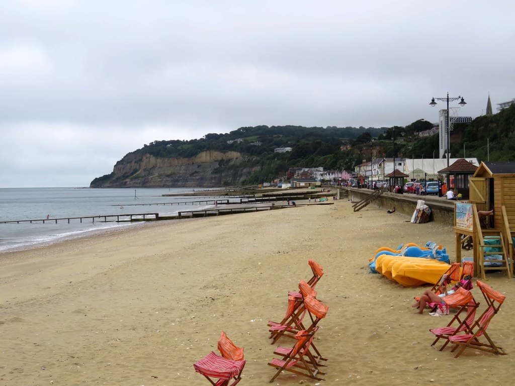
Yes. You can walk all the way around the Isle of Wight on the Isle of Wight Coastal Path, a waymarked circular route of about 70 miles (published figures range from 67 to 71). Most people take five to seven days, walking 10 to 15 miles a day. Parts of it are now also the official King Charles III England Coast Path, with more sections opening each year.
The route at a glanceSection titled The route at a glance
| Distance | About 70 miles (67 to 71, by source) |
| Climbing | About 1,400 m (4,600 ft) in total |
| Typical time | 5 to 7 days at 10 to 15 miles a day |
| Waymarking | Both directions; seagull symbol, "Coastal Footpath" |
| Usual start | Ryde, but any point works |
| Terrain | Sea walls, cliff-top downland, chines, woodland and some road sections |
The coastline itself is about 57 miles long. The path is longer because it heads inland in places: around the Newtown estuary and a rifle range between Yarmouth and Cowes, along the River Medina at Cowes, and around landslip zones.
The coast, section by sectionSection titled The coast, section by section
Going clockwise from Ryde:
- Ryde to Bembridge (about 7.5 miles). Sandy beaches, Seaview and the Duver at St Helens. Easy going, with the rock pools at Bembridge at low tide.
- Bembridge to Sandown (about 5.5 miles). Up over Culver Down to the Yarborough Monument, with views across Sandown Bay, then down to Yaverland.
- Sandown to Shanklin (about 2 miles). Choose the cliff path or the flat sea wall promenade. Shanklin has the island's biggest cluster of crazy golf courses if you need a break.
- Shanklin to Ventnor and the Undercliff. Through the Luccombe and Bonchurch landslips, woodland and some of the island's wildest coast.
- The Back of the Wight. St Catherine's Point, then the long, exposed stretch above the Military Road past Chilton Chine, Brook and Compton Bay, with few buses.
- Freshwater Bay to the Needles. Over Tennyson Down, the most famous stretch, to the Needles Old Battery and Alum Bay.
- Totland, Colwell and Yarmouth. Calm Solent beaches such as Colwell Bay, then the harbour town of Yarmouth.
- Yarmouth to East Cowes (officially about 17 miles). The longest inland detour, via Shalfleet and Newtown, then Gurnard and Cowes. Cross the Medina on the Floating Bridge chain ferry.
- East Cowes back to Ryde. Past Osborne, Wootton Creek and Fishbourne.
The King Charles III England Coast PathSection titled The King Charles III England Coast Path
Natural England is creating a national coast path round the whole English coast, and on the Isle of Wight it covers 92 miles (148 km), including the estuaries. It doesn't replace the existing Coastal Path. It gives walkers legal access rights along the route, and sometimes a better line closer to the sea.
| Section | Length | Open since |
|---|---|---|
| IOW 5: Chilton Chine to Colwell Chine | 12 miles | 17 September 2025 |
| IOW 9: Gurnard Luck to West Cowes chain ferry | 2.8 miles | 17 September 2025 |
| IOW 3: Culver Down to Binnel Bay | 12 miles | 14 January 2026 |
| IOW 4: Binnel Bay to Chilton Chine | 14 miles | 9 September 2026 |
| IOW 8: Thorness Bay to Gurnard Luck | 1.8 miles | 9 September 2026 |
The remaining sections (East Cowes to Wootton Bridge, Wootton Bridge to Culver Down, Colwell Chine to Hamstead Point, Hamstead Point to Thorness Bay and the Medina) were approved or still being decided as of October 2026.
Practical tipsSection titled Practical tips
- Use the buses to get back. Southern Vectis serves most of the coast, and a 24-hour Rover ticket costs £11.40 in the app (from August 2026). The Back of the Wight has the fewest buses, so plan that stretch carefully. More in do you need a car on the Isle of Wight?
- Watch for diversions. The Undercliff and the south-west coast are prone to landslips, and sections close after cliff falls. Check the Isle of Wight Council's rights of way pages before you set off.
- Carry water on the Back of the Wight and Tennyson Down. Cafés and pubs are far apart there.
- Pick your season. Spring and autumn are the best times: cooler, quieter and greener. The Walking Festival runs then, with guided walks of every length.
- Stay in two bases. Ryde or Shanklin in the east and Freshwater or Yarmouth in the west cover most of the route with short bus rides.
For more on the island's scale, see how big is the Isle of Wight?, and for planning a longer trip, how many days you need.
SourcesSection titled Sources
- Wikipedia: Isle of Wight Coastal Path
- Saturday Walkers Club: Isle of Wight Coastal Path (distance and ascent)
- GOV.UK: England Coast Path on the Isle of Wight (sections, lengths and opening dates)
- Isle of Wight Council: 12-mile stretch of coast path opens (January 2026)
- Isle of Wight Walking Festival and Visit Isle of Wight: Walking Festival
- Southern Vectis fare changes from 30 August