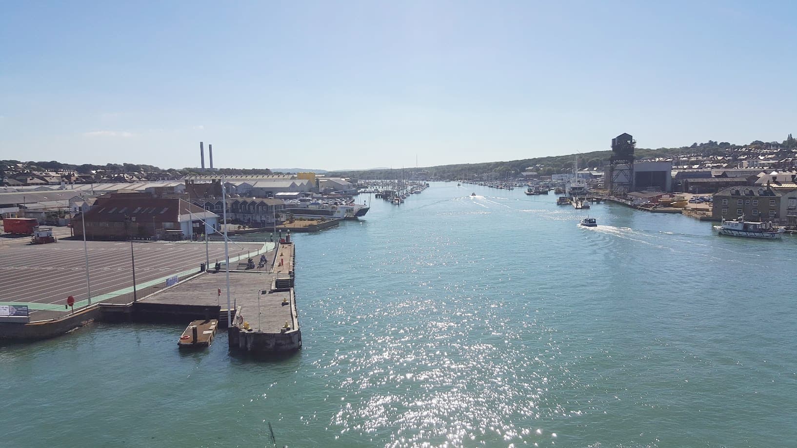
The Isle of Wight covers about 380 square kilometres (147 square miles). It measures roughly 22.5 miles (36 km) from east to west and 13.5 miles (22 km) from north to south, a rough diamond shape. That makes it the largest island in England, and about 140,500 people live on it (2021 Census).
In practical terms, it's small enough to cross by car in about an hour, but big and varied enough that most visitors need several days to see it properly.
The Isle of Wight in numbersSection titled The Isle of Wight in numbers
| Area | About 380 sq km (147 sq miles) |
| East to west | About 22.5 miles (36 km), the Needles to Bembridge Foreland |
| North to south | About 13.5 miles (22 km), Cowes to St Catherine's Point |
| Coastline | About 57 miles (92 km) |
| Coastal footpath | About 67 to 71 miles, depending on the source and the route taken |
| Population | About 140,500 (2021 Census) |
| People per sq km | Roughly 370 |
| Highest point | St Boniface Down, 241 m (791 ft) |
| Distance from the mainland | 2 to 5 miles across the Solent |
How it comparesSection titled How it compares
- Rutland, often called England's smallest county, covers about 382 sq km, almost exactly the same as the Isle of Wight. As a ceremonial county the Isle of Wight is actually slightly smaller.
- The Isle of Man (about 572 sq km) is around half as big again, and it isn't part of the UK.
- Jersey (about 118 sq km) would fit inside the Isle of Wight more than three times.
For more on how it differs from those islands, see is the Isle of Wight a Channel Island? and is it a tax haven?
Getting around an island this sizeSection titled Getting around an island this size
By car, the main towns are all within about half an hour of Newport, which sits in the middle of the island. A full east-to-west drive takes about an hour, longer in summer. Many of the best roads are slow: the coastal Military Road between Freshwater Bay and Chale is exposed and prone to closures, and country lanes are narrow.
Without a car, buses reach every town, and the Island Line railway runs from Ryde Pier to Shanklin in about 25 minutes. See do you need a car on the Isle of Wight?
On foot, the coastal path round the whole island is roughly 70 miles. Most walkers take the best part of a week. See can you walk around the Isle of Wight?
What the size means for your tripSection titled What the size means for your trip
Because the island is small, it's easy to base yourself in one town and make day trips. But the coasts are very different. The east has the sandy resort beaches at Sandown and Shanklin. The south-west has the fossil beaches and the Military Road. The west has the Needles and calm Solent beaches like Colwell Bay.
Two or three days covers the highlights. A week lets you slow down. Our guide to how many days you need has sample plans.
SourcesSection titled Sources
- Encyclopaedia Britannica: Isle of Wight (dimensions)
- Wikipedia: Isle of Wight (area, coastline, highest point, distance from the mainland)
- ONS: how the population changed in the Isle of Wight, Census 2021
- Isle of Wight Council: population figures
- Wikipedia: Rutland, Isle of Man and Jersey (areas for comparison)
- Wikipedia: Isle of Wight Coastal Path